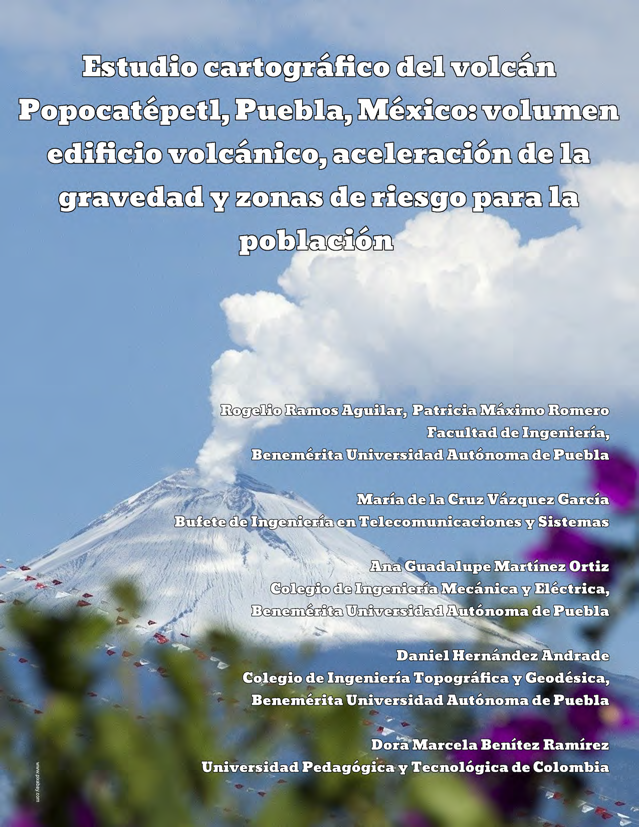
Cartographic study of the Popocatépetl volcano, Puebla, Mexico: volcanic building volume, acceleration of gravity and risk areas for the population
Abstract
This study shows the calculation of the volume of the Popocatepetl volcano and the gravity acceleration on specific points of the volcanic building for the purpose of identification of the populations that are at risk. The volume was calculated through the level curves of the map E14B42 by INEGI. The gravimetric study was carried out through the analysis of the Bouguer's anomalies and outdoor anomalies. The distance from the central point of the crater to the most important communities within the 25 km perimeter of risk was also calculated, taking as reference the projection coordinates UTM (Universal Transverse Mercator) zone 14Q resulting in the elaboration database of 64 locations as well as the respective topographic profile with average slope.
Downloads
References
Franco Ramos, O., Vázquez Selem, L., Zamorano Orozco, J. y Villanueva Díaz, J. (2017). “Edad, dinámica geomorfológica y tipología de barrancas en el sector norte del volcán Popocatépetl, México". Boletín de la Sociedad Geológica Mexicana. Vol. (69), UNAM, México, pp. 1-19.
Macías, J.L., 2005, Geología e historia eruptiva de algunos de los grandes volcanes activos de México: Boletín de la Sociedad Geológica Mexicana, 3, 395-399.
Alcántara García, Dante, (2014). “Topografía y sus aplicaciones", Ed. Patria, primera edición, México, pp. 129-184.
Espinasa-Pereña, R. (2012). Historia de la actividad del volcán Popocatépetl. 17 años de erupciones. Recuperado el 21 de junio de 2019 de https://www.cenapred.gob.mx/es/Publicaciones/archivos/225-historiadelaactividaddelvolcán popocatpetl-17aosdeerupciones.pdf.
Martin Del Pozzo A. L. y Alatorre Ibargüengoitia M. (2018). “Estudios geológicos y actualización del mapa de peligros del volcán Popocatépetl", Memoria técnica del mapa de peligros del volcán Popocatépetl. Monografías instituto de geofísica, vol. 22, México.
Delgado Granados H., Valdéz González C y Ramos Jim enez E. (2013). Las cenizas volcánicas del Popocatépetl y sus efectos para la aeronavegación infraestructura aeroportuaria. CENAPRED, Instituto de Geofísica, UNAM, México, pp. 20-61.
Gravity Information System. Physikalisch-Technische Bundesanstalt, Braunsch weig, 2017, Germany. Disponible en línea: www.ptb.de/cartoweb3/SISproject.php
Sosa Ceballos G., Gardner J.E., Siebe C. and Mac as J.L., (2012). “A caldera forming eruption 14,100 14C yr BP at Popocatépetl volcano, México: Insights from eruption dynamics and magma mixing. Journal of Volcano- logy and Geothermal Research", vol. (213), Elsevier, USA, pp. 27-40.
Arce G. J.L., Sosa Ceballos, J. L., Macías, García Tenorio, F., Layer P., Schaaf P. and Solís Pichardo G. (2015). “El Ventorrillo, a paleostructure of Popocatépetl volcano: insights from geochronology and geochemistry", Bulletin of Volcanology, vol. (310), Springer, USA, pp. 77-91.
Instituto Geográfico nacional de España. La vulcanología es multiparamétrica, 14 de octubre de 2016, disponible en línea: http://www.multiteide.es/2016/10/lavolcanologia-multiparametrica/
Hirt, C., Bucha, B., Yang, M. and Kuhn, M. (2019). A numerical study of residual terrain modelling (RTM) techniques and the harmonic correction using ultra-high-degree spectral gravity modelling". Journal of Geodesy, vol. (44), Springer, Switzerland, pp. 1-18.
Ramos Aguilar, R. et al. (2018). “Photogrammetric follow-up of the Popocatepetl volcano exhalations, in Mexico, during the year 2016". Investigaci on y Ciencia, vol. (73), UAA, México, pp. 37-48.
Cortés Ramos, J., and Delgado Granados, H. (2012). “The recent retreat of mexican glaciers on Citlalt epetl Volcano detected using ASTER data. The Cryosphere Discussions", UGM, vol. (6), México, pp. 3149-3176.
García, F., Ramos, E., and Domínguez, R. (1996). “Posible flujo de lodo en el costado oriente del volcán Popocatépetl. En Volcán Popocatépetl. Estudios realizados durante la crisis de 1994-1995". CENAPRED, UNAM, México, pp. 109-119.
Siebe, C., Macías, J.L., Abrams, M; Obenholzner, J., 1996, La destrucción de Cacaxtla y Cholula: un suceso en la historia eruptiva del Popocatépetl: Ciencias, 41, 36-45.
INEGI, Topografía. (2015), Recuperado el 08 de febrero de 2019: https://www.inegi.org.mx/temas/topografia/


